August 2026
Terrestrial Laser Scanning (TLS): Technical Specifications Explained
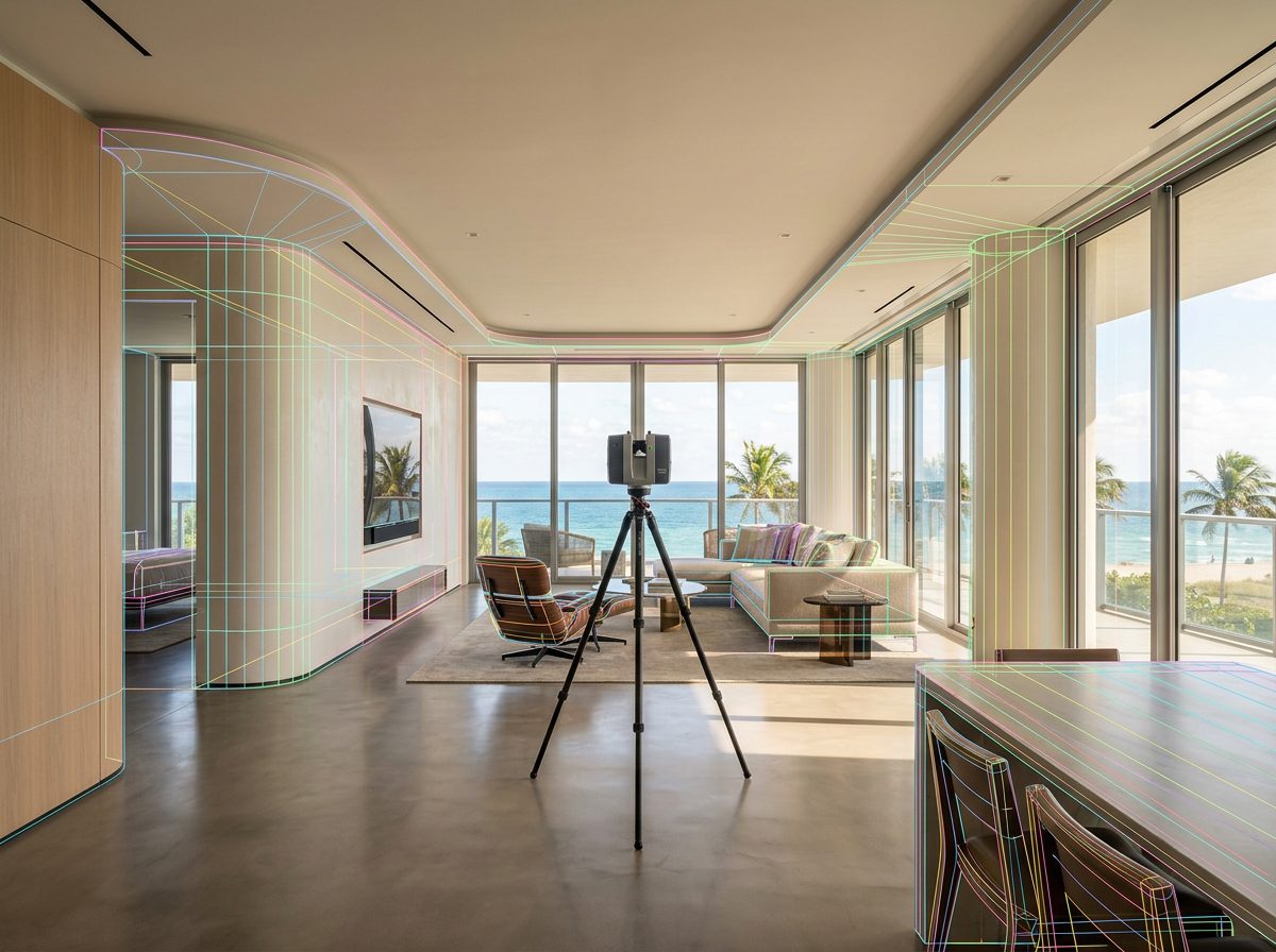
Terrestrial laser scanning is the highest-accuracy method we use for documenting existing buildings. It's the default choice when dimensional precision matters — and understanding what it does and doesn't deliver helps you specify it correctly.
What TLS is
A terrestrial laser scanner is a tripod-mounted instrument that stays stationary while capturing. It sweeps a laser across its full field of view, recording hundreds of thousands of measurements per second, each carrying x, y, and z coordinates plus an intensity value. The scanner is then moved to a new position and the process repeats. Individual setups are later registered into one unified point cloud.
Because the instrument is stationary and precisely levelled during capture, TLS achieves accuracy that mobile methods cannot match.
Accuracy you can specify
On our projects:
- Scanning accuracy from 2mm (under 1/8 inch) — suitable for tall spaces, irregular layouts, and detailed modeling
- Room and built-in accuracy of ±1/4 inch, verified and documented to a standard cabinetmakers and stone fabricators can work from
- Smart approximation — real rooms are rarely square. We measure what's actually there and deliver practical, buildable geometry rather than idealized rectangles
- Documented discrepancies — field anomalies are flagged rather than quietly averaged away
When TLS is the right method
Choose terrestrial scanning when the project involves:
- Millwork, cabinetry, or stone fabrication driven by the drawings
- Permit sets and construction documents requiring dimensional accuracy
- High ceilings, atriums, or double-height volumes
- Ornate or historic detail requiring faithful capture
- Structural documentation and verification
- Area certification where the number will be contractually relied upon
Practical tradeoffs
TLS takes longer in the field than mobile scanning because the instrument must be repositioned and each setup takes time. In heavily furnished or subdivided spaces, more setups are needed to avoid occlusions — areas hidden behind furniture or partitions where the laser simply can't reach. Good field technique means anticipating those shadows and adding positions to eliminate them.
For very large sites where relative accuracy matters more than absolute precision, SLAM scanning may be the better tool — or the two can be combined, with TLS on critical areas and SLAM on circulation.
Deliverables from a TLS survey
Standard output is dimensioned floor plans, reflected ceiling plans, interior and exterior elevations, visible MEP layouts, door and window schedules, and millwork drawings, delivered in PDF and AutoCAD DWG. Point cloud data, Revit models at your specified LOD, and 360° panoramas are available as add-ons.
Need an as-built survey for your project? Tell us the property, the area, and the deliverables you need — we'll come back with scope, turnaround, and pricing, usually within one business day.