As-Builts for Realtors & Brokers
Existing conditions and SLAM scanning for commercial buildings
Defensible area figures and marketing-ready plans for listings, leasing, and due diligence — captured fast enough to keep pace with a deal.
Why it matters
Commercial deals turn on square footage, and square footage is routinely wrong. Rentable area gets carried forward from decades-old documents, re-measured inconsistently by each party, and then disputed at exactly the wrong moment — during LOI negotiation or lease audit.
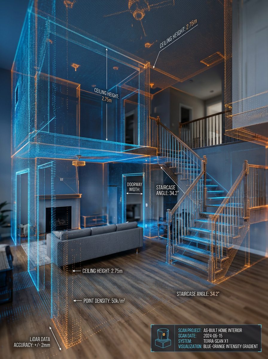
Large commercial floor plates are also where SLAM mobile scanning earns its keep. Where terrestrial scanning would need an impractical number of tripod setups, a technician can walk a 100,000 sq. ft. building and capture the whole envelope, circulation, and back-of-house in a fraction of the time. For listing plans, stacking diagrams, and BOMA area analysis, that relative accuracy is exactly what the job requires.
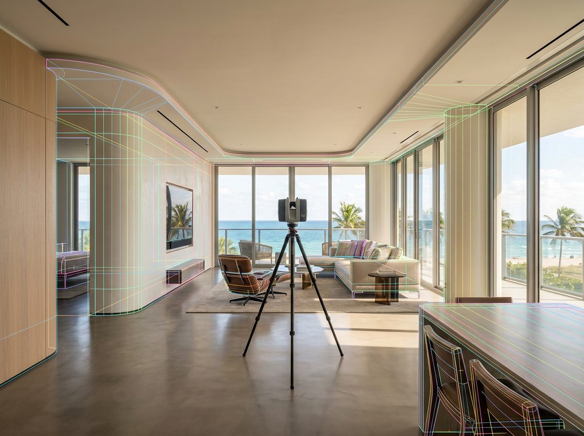
When a specific suite needs fabrication-grade precision, we set up terrestrial scanners in that area and register both datasets into one point cloud — speed across the building, accuracy where it counts.
Project Example
Galt Ocean Marketplace, Fort Lauderdale, Fort Lauderdale, FL
- Location
- Fort Lauderdale, FL
- Building type
- Commercial
- Area surveyed
- 100,000 sq. ft.
A 100,000 sq. ft. retail and commercial marketplace documented across tenant spaces, common areas, and service corridors — the scale at which mobile scanning becomes the only sensible method.
See the full project →Deliverables
What's included
- BOMA net and gross rentable area analysis
- Area certification letters signed by a licensed architect
- Marketing-ready floor plans in PDF and CAD
- Stacking plans and suite-by-suite layouts
- 360° panoramic tours for remote and international prospects
- Test-fit layouts for prospective tenants
Also relevant
Ready for accurate drawings?
Send the property details and we'll come back with scope, turnaround, and pricing.