August 2026
LiDAR SLAM Scanning: Technical Specifications and When to Use It
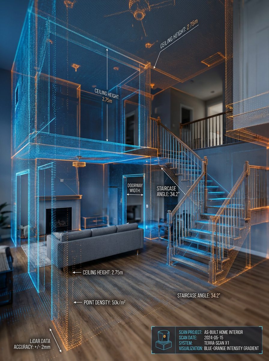
SLAM — Simultaneous Localization and Mapping — is mobile laser scanning. Instead of setting an instrument on a tripod, the operator walks the building carrying the scanner, which continuously maps the space while calculating its own position within it. It's a genuinely different tool from terrestrial scanning, with different strengths.
How SLAM works
The scanner captures LiDAR data continuously while algorithms track its movement by matching successive scans against each other in real time. The result is a single connected point cloud of everything walked through, built without any tripod setups at all.
Because position is derived from the data itself rather than from a fixed, levelled instrument, small errors can accumulate over a long capture path — a phenomenon called drift. Good practice controls it by closing loops (returning to previously scanned areas) so the algorithm can correct itself, and by tying the capture to surveyed control points on larger jobs.
Accuracy expectations
SLAM trades precision for speed. Relative accuracy within a local area is typically in the range of a couple of centimetres — excellent for spatial understanding, circulation, and volumetric documentation, but not the sub-quarter-inch precision that millwork fabrication requires.
This is the critical specification point: SLAM is not a substitute for TLS where dimensional tolerance drives the work. Any provider presenting them as interchangeable is either not paying attention or hoping you aren't.
When SLAM is the right choice
- Large floor plates where tripod scanning would require an impractical number of setups
- Multi-storey circulation — stairs, corridors, and back-of-house areas
- Rapid documentation when the building must stay operational and access windows are short
- Volumetric and spatial records where relative geometry matters more than absolute precision
- Preliminary due diligence before committing to a detailed survey
- Complex or cluttered sites where a walking path reaches areas a tripod can't be placed
Combining both methods
On most substantial projects, the right answer isn't one or the other. We frequently use SLAM to capture circulation, back-of-house, and large open areas quickly, then set up terrestrial scanners in the spaces where accuracy actually governs — kitchens, bathrooms, millwork walls, facades. The two datasets are registered together into one coherent point cloud.
That hybrid approach delivers the accuracy where it's needed and the coverage everywhere else, usually at lower cost than scanning the entire building terrestrially. Deciding the split is exactly the kind of scoping conversation worth having before a quote is issued.
Need an as-built survey for your project? Tell us the property, the area, and the deliverables you need — we'll come back with scope, turnaround, and pricing, usually within one business day.