August 2026
LiDAR to BIM: How a Laser Scan Becomes a Working Model
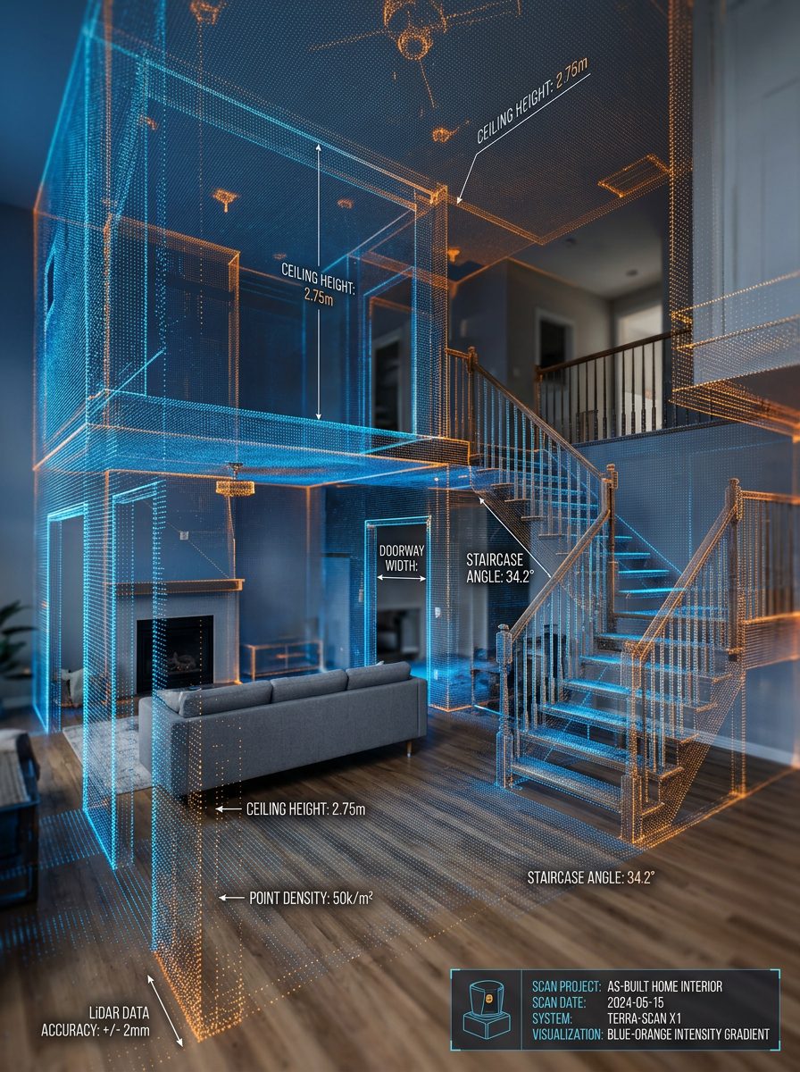
Clients often ask what actually happens between a technician arriving on site and a finished Revit model landing in their inbox. It's a five-stage process, and understanding it helps you specify the right scope — and recognize when a provider is cutting corners.
1. Field data collection
A field technician arrives with multiple scanner types and supporting computer equipment. Which instrument gets used depends on the conditions: interior versus exterior, low light versus direct sunlight, long open spans versus tight congested areas. No single scanner is right for every situation, and a crew carrying only one is compromising somewhere.
Capture takes anywhere from a couple of hours to several days depending on size, complexity, and the deliverables required. A typical residential or commercial interior is usually a two-to-eight-hour visit.
2. Data analysis and quality control
Scans are uploaded, decompressed, and checked for precision and clarity. This alone can take from six hours to several days — raw files on larger projects sometimes exceed three terabytes.
The scale is worth appreciating: these instruments record on the order of 750,000 point measurements per second. Each measurement becomes a single colorized dot in the point cloud, carrying x, y, and z coordinates. The technician reviews this data against quality metrics and determines whether any area needs a return visit or a rescan before proceeding.
3. Registration
Individual scans are combined one at a time and aligned into a single coherent point cloud. Once every scan is registered, the cloud goes through several hours of post-processing cleanup. Tolerance reports are generated to verify mathematically that the registration holds within acceptable error — this is the step that separates a defensible survey from a pretty picture.
4. Modeling into BIM
The finalized point cloud is exported to RCP (Recap) format and handed to the modeling team, who build the model in Autodesk Revit line by line and element by element against the cloud.
This part cannot be automated. Despite persistent marketing claims to the contrary, converting scan data into a reliable, correctly-classified building model requires an experienced technician making judgment calls about what the data represents. Automated conversion produces geometry that looks approximately right and fails under scrutiny.
5. Audit
Once the model is complete, the whole process is re-checked to confirm the point cloud is faithfully represented. After the audit, you receive the model along with the RCP point cloud it was generated from — so you can verify the work yourself and reuse the source data later.
Specifying the right output
Not every project needs a model. If your goal is permit drawings for a renovation, plans and elevations drawn from the cloud may be all you require. If you're coordinating trades or planning prefabrication, a model earns its cost. Our LOD guide covers how to specify the detail level precisely so you don't pay for more than the project needs.
Need an as-built survey for your project? Tell us the property, the area, and the deliverables you need — we'll come back with scope, turnaround, and pricing, usually within one business day.